BENEFITS

It is vital to ensure that technology advances in the agricultural sector were “relevant, practical, effective and, ultimately, adopted” and did not simply produce research papers that “collect dust on book shelves”
Mark Allison, Chief Executive, Elders

Water level

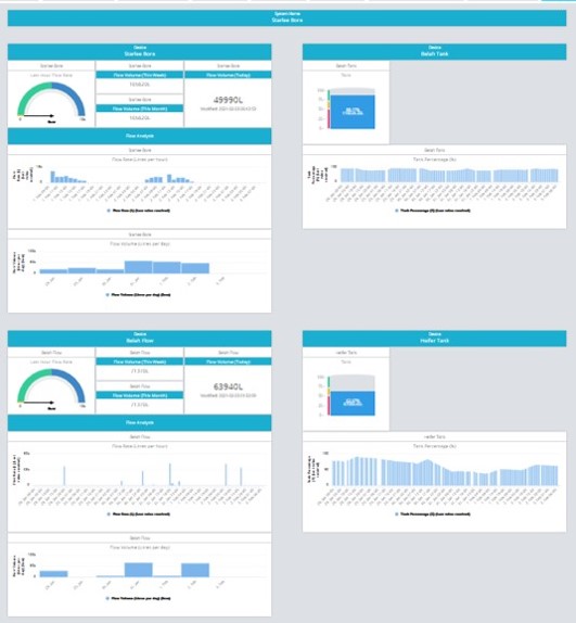
The farmer can see the current water level in each tank as part of a whole water system and how much it fluctuates when cattle drink, as well as how long it takes to be replenished from the upstream source.

This can save considerable time and resources, as the farmer doesn’t need to physically inspect the tanks as often, or unless he/she receives an email advice, either as a simple notification at 75%, or a warning at 50%. In which case he/she can take the appropriate action.
Water flow

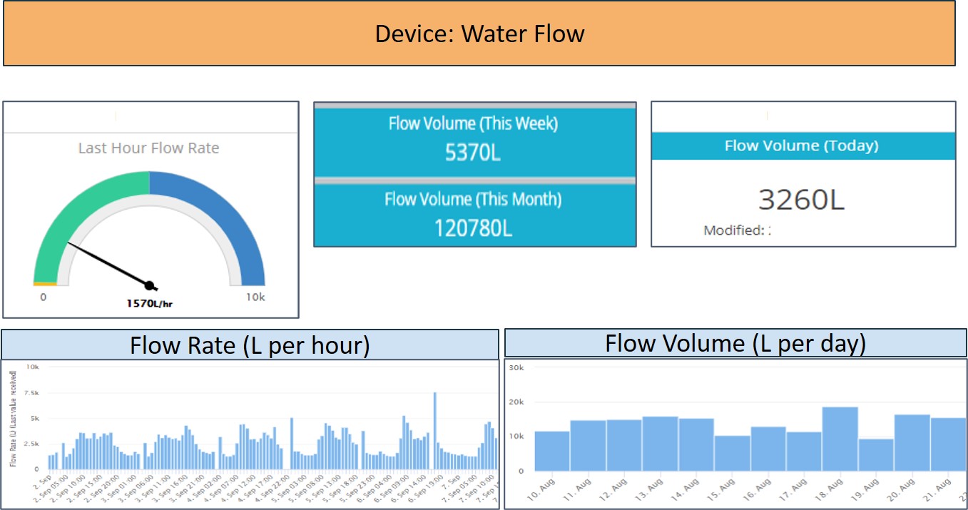
Not only does water flow, generally from a bore or dam, show both daily volume and rate per hour. It can inform the farmer, as to the integrity of the pipeline to the tank(s) and can be a useful tool in determining if the recipient paddock is under, or over stocked, at least from a water perspective.

As an example of identifying pipeline integrity, when we deployed water flow sensors on the first two lines on a property, it showed that the farmer was losing over 95,000 litres a week from just those two lines and was not aware of it.

The rate of flow can also be very helpful in identifying if a pump is operating to its rated capacity. If not, it could indicate that the pump may require some maintenance or repair.

Soil

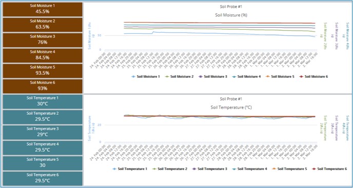
With an extensive range of subsurface probes that measure soil moisture,  temperature and more recently salinity, at a range of depths from 100mm to 1,600mm, all accessible on its common platform, PLF can deliver immediate, detailed and cost-effective soil profiling that will save the farmer considerable time and cost, using more expensive alternate equipment, or hiring contractors.

With all device data coming onto a common platform, a comparative rainfall chart can be added to show the immediate impact and longer term moisture retention at the various soil layers.

Livestock

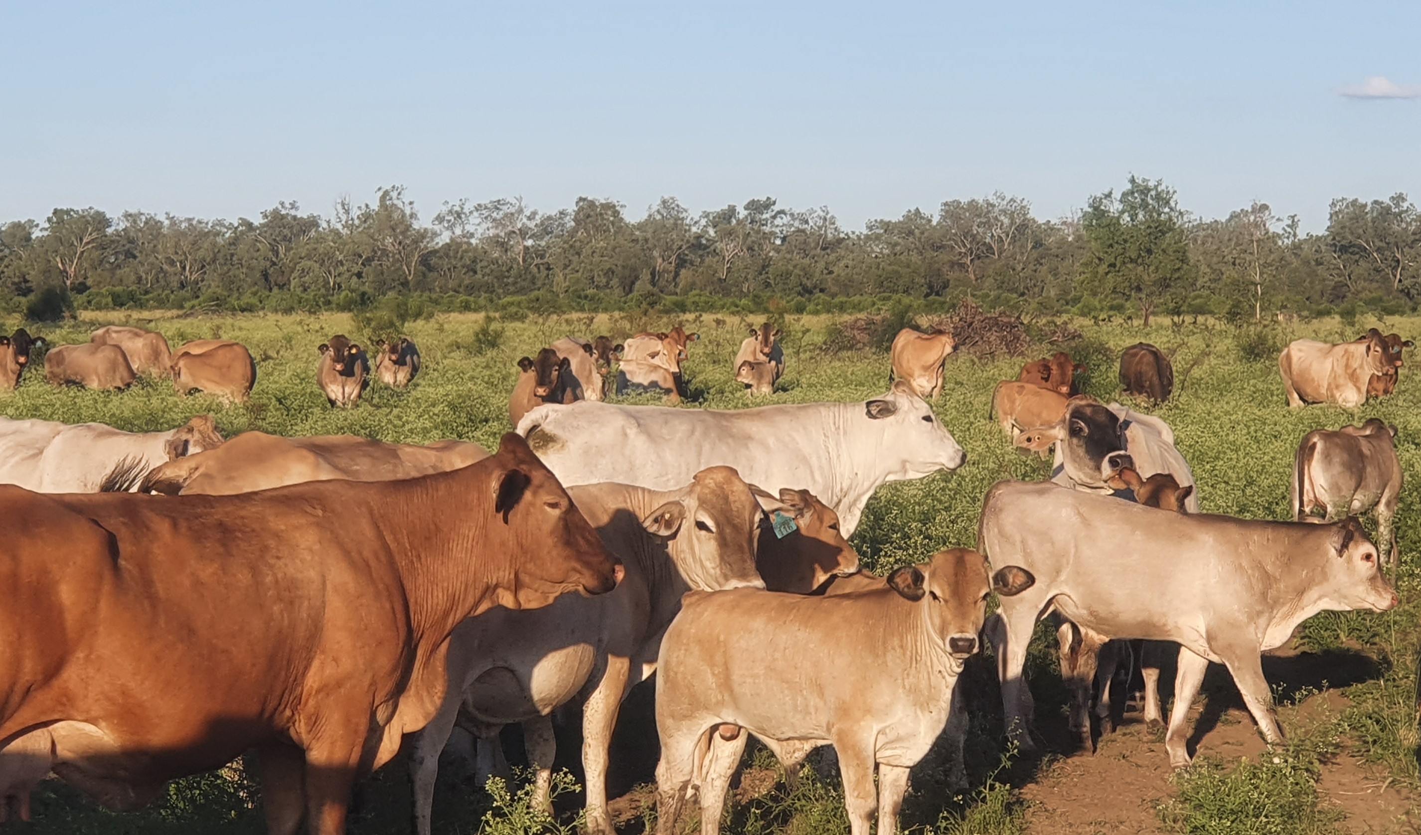
The benefits of GPS location and accurate growth rates of his/her livestock, in real time, cannot be overestimated…

With CERES Tag and Optiweigh data coming onto the PLF platform, the farmer can accurately manage their livestock without the need to inspect them virtually daily.

There is also the time and resources required and stress on the animals having to be mustered and brought to the yards for interim weighing.

With this knowledge readily available on their PC or mobile device, the farmer is in the best possible position to optimise farm productivity, and resultant profitability.

Crops

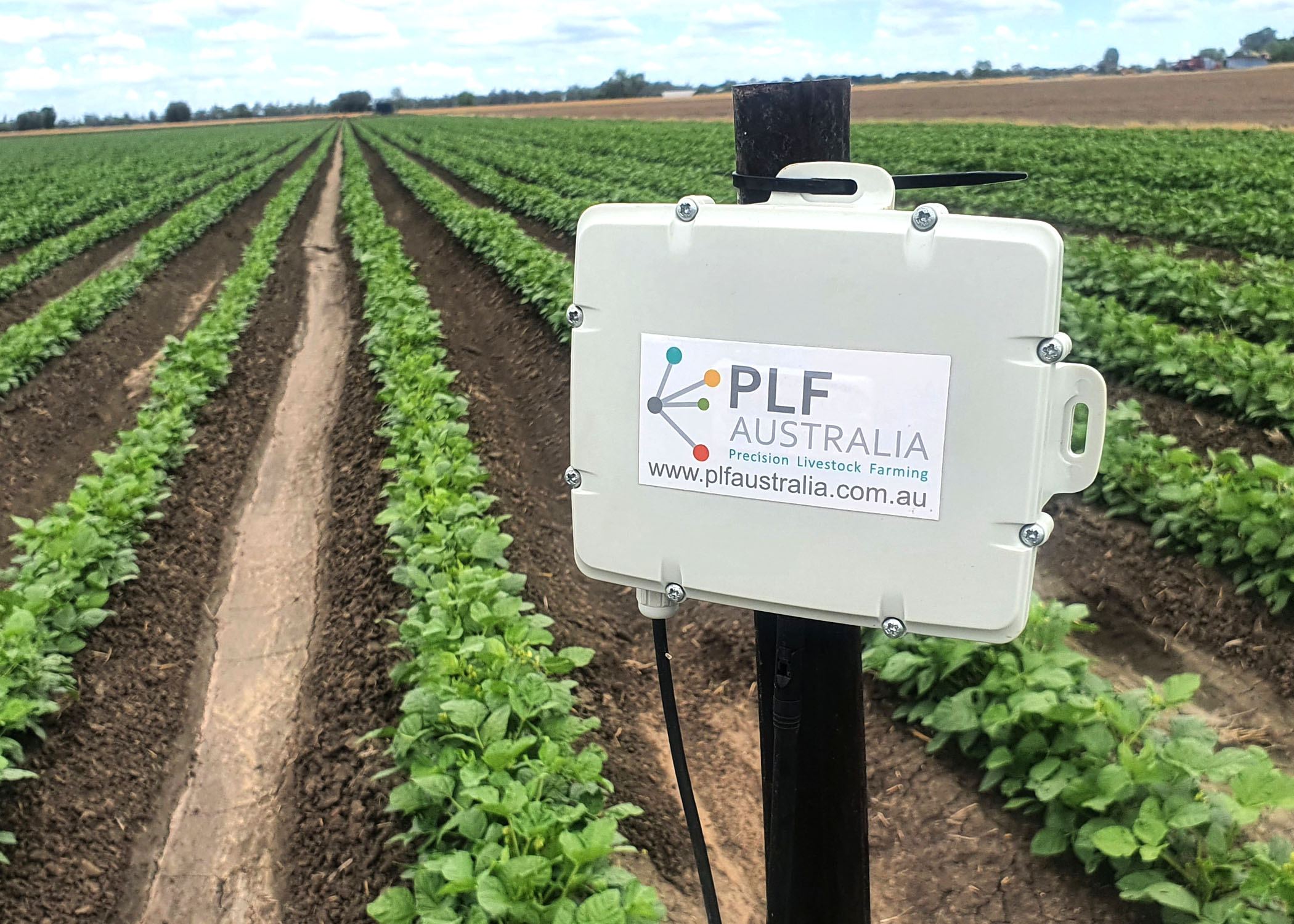
From continuously monitoring the soil the farmer is able to make evidence-based decisions regarding:

  • When and what crops to plant –resulting in improved return on investment per hectare, per year/season.
  • Irrigation timing, location and flow – cost saving resulting from better management of water, particularly line leakage, or overspraying.
  • Nutrient requirements to overcome any soil quality issues, resulting in improved crop yield.

Weather

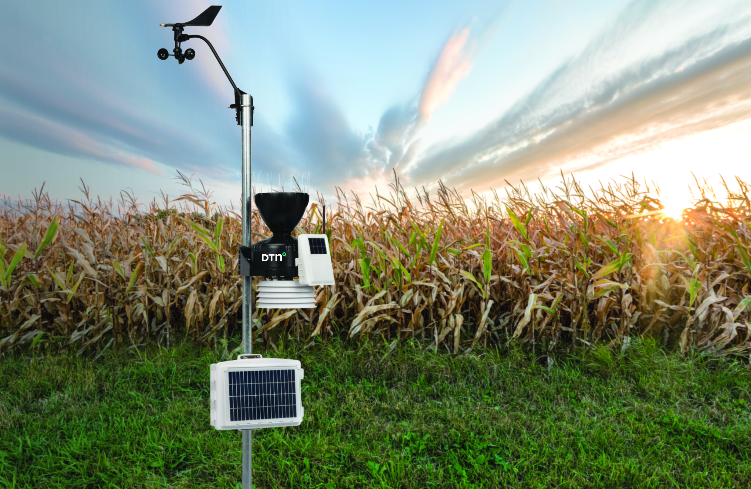
By their own nature, farms are located some distance from sizable towns and with that BOM (Bureau of Meteorology) sites.

As a result, there are often varying weather conditions at the farm as compared to what is reported by BOM .

With climate taking such a significant role in our lives, it becomes increasingly important that the farmer is working with weather data as it applies to his/her specific property.

The benefits of an on-farm weather station enable the farmer to make accurate operational decisions that can deliver benefits, such as:

  • Increasing production
  • Reducing costs
  • Improved planning re.
    • – planting
    • – Asset acquisition
    • – Resource management
    • – going to market