SERVICES

Water Level - Systems

Water level

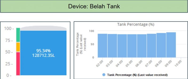
Current water level streaming from a hydrostatic sensor, informing the farmer when and how much water is being drawn from the tank. A widget depicting the tank shows the current level, with differing colours denoting set levels of water in the tank, at which point notifications are sent.

If the level goes below a first designated level, say 75%, the colour shows ‘amber’ and the farmer receives a text message. If the level drops to say 50%, the farmer receives a warning in text and/or email that some action is required and will repeat every 3 hours showing the current water level.
Water Flow Charts 2

Water flow

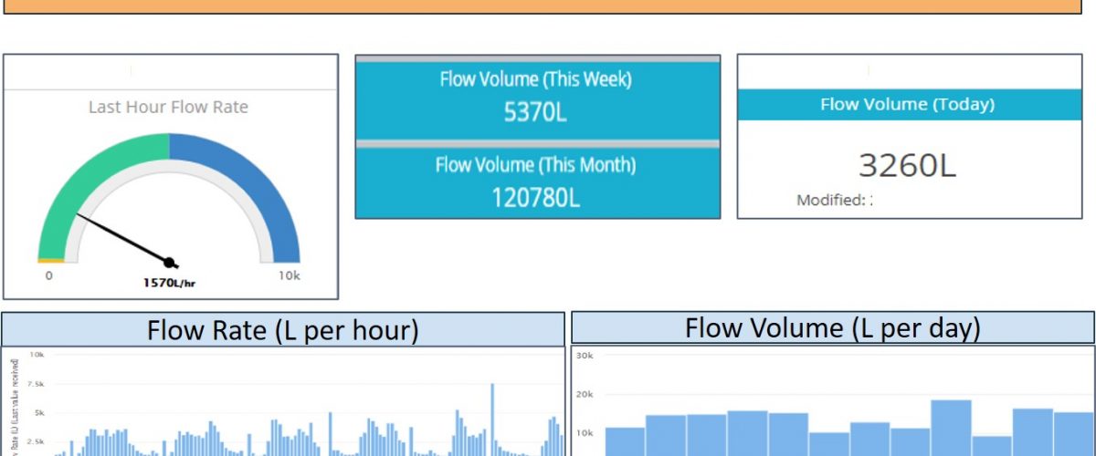
Current flow rate and volume of water streaming from a sensor attached to a water meter at a bore, dam, or reservoir, informing the farmer when and how much water is flowing to tanks, or fields and at what rate. The resultant information is presented graphically over whatever timeframe the farmer wishes.

If the flow rate shows either  flow when all downstream tanks are full, or there has been constant flow for 24 hours and the farmer receives a text and/or email warning.

Soil Probe Charts 2

Soil

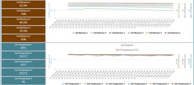
Soil probe data streaming from a probe showing soil moisture, temperature and salinity at multiple soil profile layers, informing the farmer as to the moisture,  temperature and salinity levels at each profile layer, over any timeframe the farmer chooses. The location of the sensor is shown on a map of the farm, with differing colours denoting the respective level of moisture, temperature and salinity at each layer.

If at any layer the temperature, moisture, or salinity levels go above, or below predetermined levels, the farmer receives notification via text and/or email.

Tony & Paul with cattle #1

Livestock

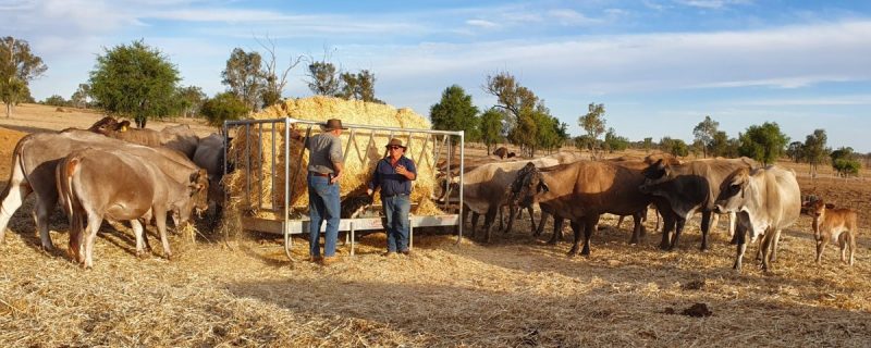
Knowing that location, behavior, growth and well being of livestock is imperative, PLF has established a software partner relationship with CERES Tag and will shortly be able to include their livestock data with our ever increasing service delivery.

We are also in the throws of developing a similar arrangement with Optiweigh to deliver their data on our platform.

CQ Crops 2

Crops

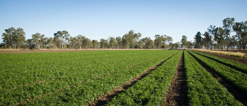
PLF utilises a range of sensors to deliver data such as:

  • Water (volume/flow rate)
  • Soil (moisture/temperature/salinity) at a range of layers
  • Weather (temperature/wind [speed & direction]/
    dew point/rainfall/humidity)

The aim is to correlate the multiple datasets to inform operational activity, such as:

  • Crop selection
  • Field preparation
  • Planting
  • Spraying
  • Irrigating
  • Harvesting
  • Transport
Glenelg WS 2

Weather

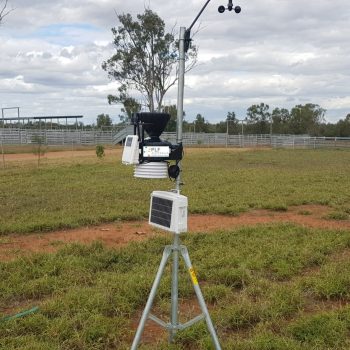
On-farm weather station providing ‘farm specific’ information, especially when the farm is considerably distant from a BoM site.

Information including:

  • Temperature,
  • Wind speed and direction,
  • Rainfall,
  • Barometric pressure
  • Growing Degree Days
  • Evapotranspiration,
  • Data provided
    • – Current
    • – Historic
    • – and forecasting.